Haul Road Trail
Constructed on the route of a former railroad line that hauled lumber for nearby mills, the Haul Road Trail begins just east of the popular Skyline Sports Complex and continues for five miles southwest along Century Drive. The paved trail heads out to the eastern border of Willamette National Forest, where users can continue along a smooth asphalt path to the Cascade Lakes Welcome Station—a portion of the route that is also known as the Rimrock Trail.
Download MapSun-Lava Trail
As its name suggests, the land that houses the trail has been shaped by millennia of volcanic activity, with the Newberry National Volcanic Monument and the Lava Butte Cinder Cone providing amazing scenery just north of the trail. Trail users should be prepared for some inclines and declines along the way due to the rolling landscape; right near where the trail crosses over the railroad tracks, a short spur leads off from the main trail to head north to Benham Falls, a lovely spot along the Deschutes River – a stretch of boardwalk allows you to cross over the river and continue along the unpaved Deschutes River Trail from there.
Download MapSunriver Bike Path
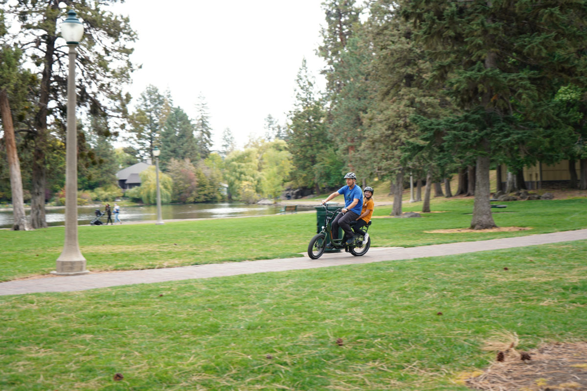
Deschutes River Trail
Deschutes River Trail meanders over 12 miles through the heart of Bend in central Oregon. Most of the trail follows the river for which it’s named, providing terrific views and recreational opportunities. The trail is easy to access as it links a number of parks, including Sawyer Park, Pioneer Park, and Riverbend Park. Many of these sites offer parking, drinking water, and restrooms.
If you’re looking for a nature experience, the northern half of the trail is your best bet. Here, pine and juniper trees line the trail as it winds through wide canyons with some climbs over rolling terrain. Keep your eyes open for wildlife. The trail is surfaced in gravel on this end, becoming largely paved south of Pioneer Park (1525 Wall Street).
The southern end of the trail goes through the popular Old Mill District, where you’ll find a variety of shops, restaurants, and art galleries to enjoy.